Bonnyville
Water
Surface Water Flow Modelling of Muriel Lake Basin
Muriel Lake has suffered severe environmental degradation during a 40+ year long trend of loss of water level. Due to the loss of approximately 50 per cent of its water content and depth, water quality is no longer adequate to support the existence of larger fish populations or recreational use of the lake.
Several scientific studies have examined Muriel Lake’s situation. A water balance conducted by Alberta Environment identified that a very low proportion of precipitation falling within Muriel Lake’s drainage basin reaches the lake. Another study suggests the lake level is lower than previous low water level cycles, suggesting anthropogenic factors have exacerbated the current lower precipitation cycle by disrupting surface water flow or groundwater contributions. Further work has identified several specific locations where surface water flow has been interrupted, leading to reduced water flow to the lake and loss of water by evaporation from the basin. An opportunity exists to improve Muriel Lake’s situation by addressing surface water flow and increasing recovery of precipitation within the basin.
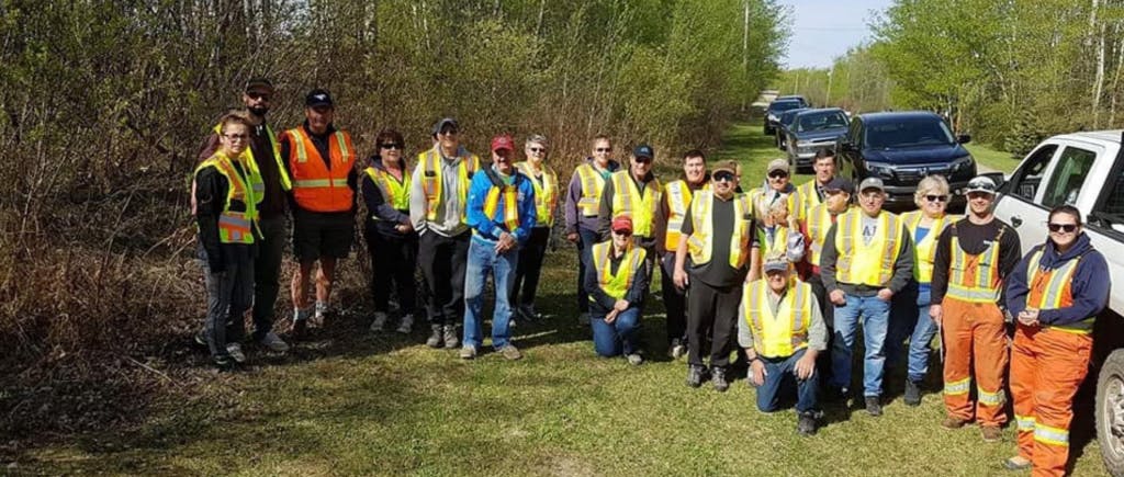
The Muriel Lake Basin Management Society (MLBMS) has begun studying drainage within the Muriel Lake basin and has identified locations where culverts or roads are impeding flow to the lake. The MLBMS requires a scientific tool to identify and quantify these effects.
Funding from Alberta Ecotrust will allow the MLBMS to hire a consultant company to construct a Digital Elevation Model (DEM) based on Lidar data. The DEM will be further developed using standard Geographical Information System (GIS) software to produce a drainage analysis that will identify areas that are capable of contributing water to Muriel Lake. An inhibited flow analysis will identify specific locations where surface flow may be impeded. MLBMS volunteers will visit each site to confirm the existence of blockages and document location specific details. A final report will be generated including a fully documented digital elevation model, maps, tables and figures detailing ineffective drainage areas, and recommend corrective actions.