Enabling Geographic Information Systems for Ghost Watershed protection
Nature-Based Solutions and Conservation
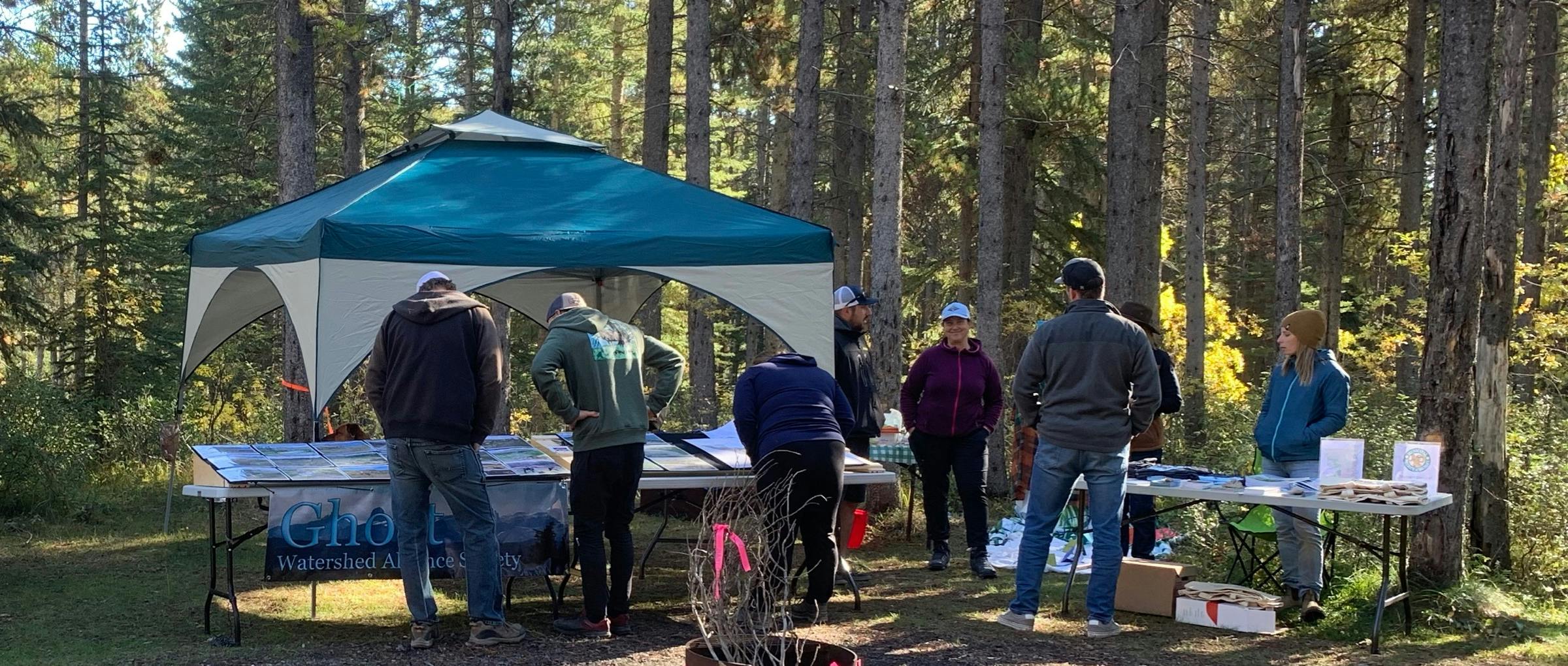
The Ghost Watershed Alliance Society (GWAS) built internal Geographic Information Systems (GIS) capacity to strengthen its ability to protect and promote watershed health. By establishing GIS capabilities, GWAS captured invaluable local knowledge and land-based experiences, documented on-the-ground actions of bioengineering and water monitoring, leveraged datasets and mapping done by partners, raised awareness about issues facing the Ghost Watershed and shared this gathered knowledge with the broader community in appealing and accessible ways.
This was the right time for GWAS to build GIS capacity because of (1) recent successful investments in online education and outreach resources; (2) support provided by the Bow River Basin Council (BRBC) through an ESRI software license and GIS working group; and (3) available human resources and equipment. In-house GIS capacity supported project planning, permitting processes and presentations. GWAS found online maps and GIS-based storytelling to be effective tools for communicating with stakeholders, decision-makers and public audiences. Objectives range in scope from explaining basic watershed concepts to publishing the Ghost River State of the Watershed (2018) report online. This project enabled GWAS to grow and develop its own internal GIS capability, making it an even more effective organization.
Related projects
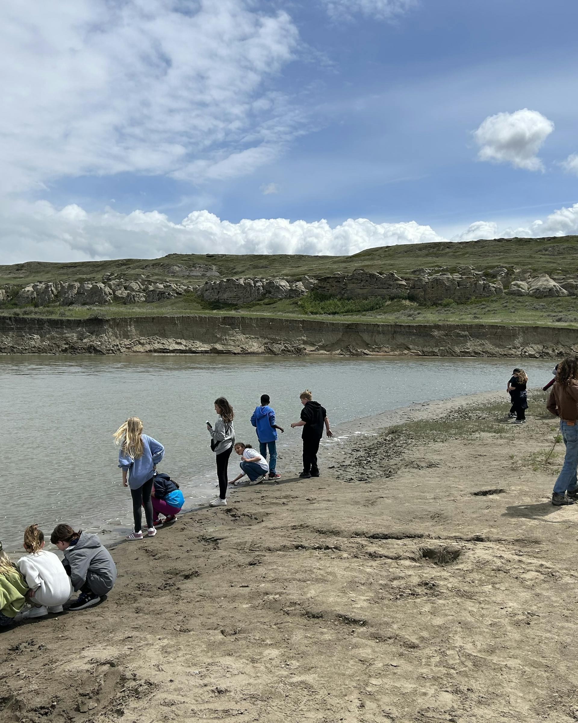
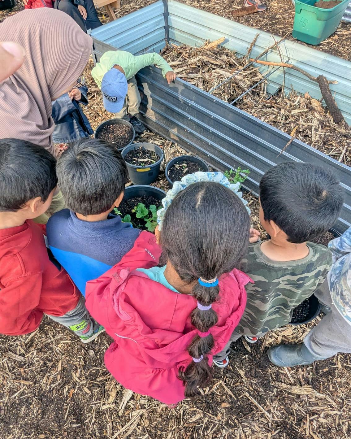
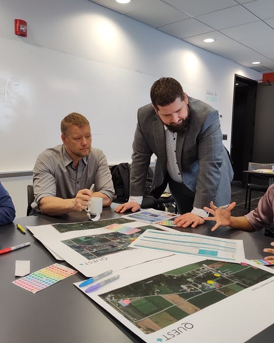
Explore a showcase of projects that we've funded.