Elbow River state of the watershed report
Elbow Valley
Water
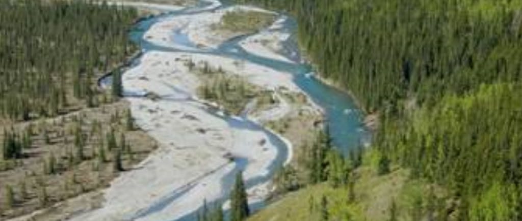
The Elbow is a small but mighty river. From its source in Rae Glacier in Kananaskis Country, it flows through wilderness, rural and urban landscapes and Treaty territories before joining the Bow River in Calgary. Just 120 kilometres long, the Elbow River provides water for hundreds of thousands of Albertans and beyond as well as all the flora and fauna that depend on it for life. Managing and protecting the aquatic environment within watersheds is a complex task. Multi-jurisdictional land development decisions (federal, provincial, municipal) covering a multiplicity of uses (e.g., urban, rural residential, agriculture, forestry, industrial, recreational) add to this complexity.
The current Elbow River Watershed Management Plan (WMP) was prepared in 2008 and updated in 2009. Changing conditions and events have shaped the watershed since the WMP was developed ten years ago. The first step to updating the WMP is to assess the current State of the Watershed (SOW). A SOW report will identify baseline watershed conditions and highlight areas of concern, and provide direction and guidance in the process of developing the WMP.
With funding from Alberta Ecotrust, the SOW process and completed report will re-establish and strengthen relationships across the watershed and reinvigorate the Elbow River Watershed Partnership to guide decisions made by stewards of the water and land, including First Nations, government agencies, communities, organizations, industry, and individuals.
The Elbow River SOW Report will be formatted and made accessible to the public and scientific communities as well as key stakeholders who influence watershed conditions. The report will be available in printed and digital versions, along with an online storymap on the Elbow River Watershed Partnership’s website.
Related projects
Explore a showcase of projects that we've funded.


