From access to action: Geospatial capacity within Indigenous communities
Lakeland Métis Nation (LMN)
Other
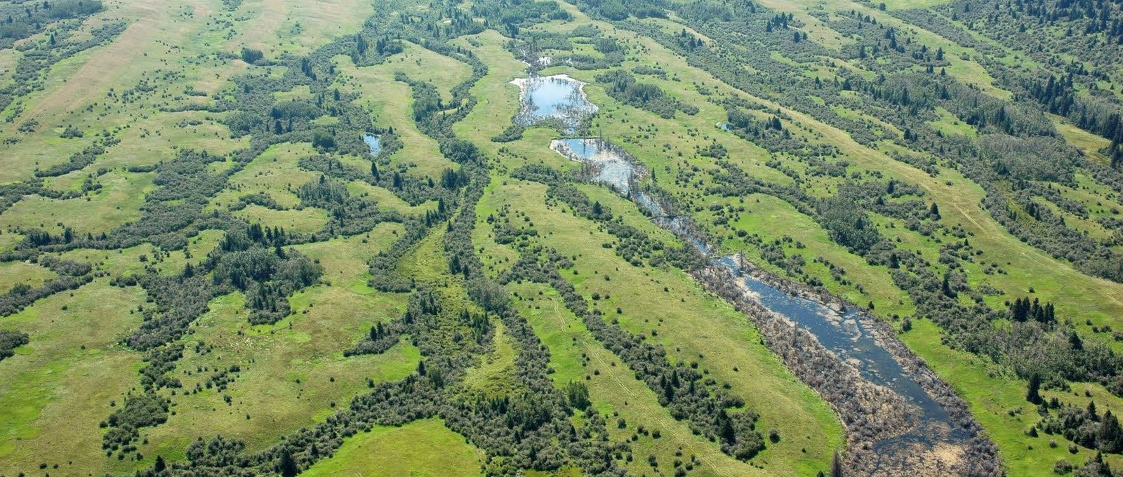
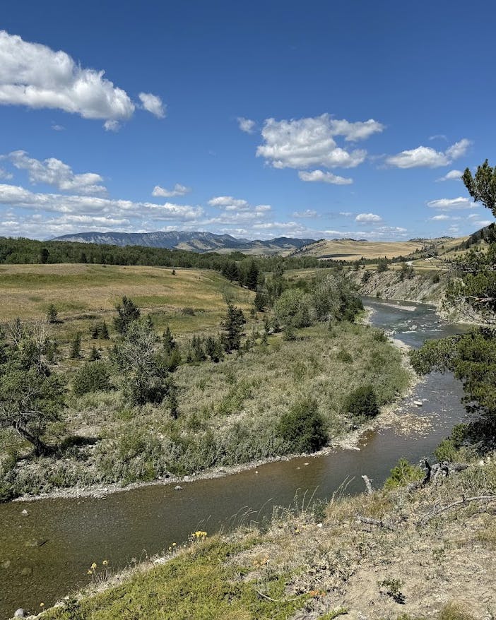
Indigenous communities face barriers in accessing and using geospatial data for land management and environmental monitoring. The Lakeland Métis Nation and the Institute of Prairie and Indigenous Archaeology are partnering to co-develop an education program that helps communities use these tools.
Through workshops, user guides and one-on-one support, the project will build capacity to support land management decision-making that reflects the Lakeland Métis Nation’s priorities, from environmental stewardship to cultural preservation.
The program will also serve as a model for geospatial education and support in other Indigenous communities.
Related projects
Explore a showcase of projects that we've funded.